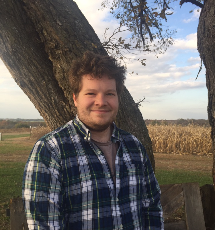
About Me
Hi. My name is Jim Coll and I’m a FIM developer with the NOAA Office of Water Prediction. My skill set revolves broadly around the intersection of GIScience and Hydrology with a flair towards FOSS (Free and Open Source Software). Right now I’m trying to address the systemic friction with national scale flood modeling efforts. When I inevitably get fired, I hope to find the time to make it easier to measure bathymetry and discharge at hyper-resolution scales using small UAS (drones). Intense dislikes include temperatures over 70° and most seafood, but I love finding new music, dogs, and snowboarding. Thanks for visiting, and if you have any questions feel free to reach out to me at jcoll at lynker dot com
Experiences
Geospatial Hydroscience Developer
2022 - Current · Lynker
Tackling big data questions across the flood mapping and remote sensing domain.
Geospatial Hydroscience Developer
2021 - 2022 · CISESS - University of Alabama
As an Assistant Research Professional for the Cooperative Institute for Satellite Earth System Studies (CISESS) at the University of Alabama, I improved process representation and created validation data for the FIM projects and built out terrain and processing tools needed to parameterize channel routing models.
HERS student mentor
2020 - 2021 · Kansas NSF EPSCoR
Developed GIS curriculum guidance and critical spatial thinking assessment for the Haskell Environmental Research Studies summer program for indigenous undergraduate students.
Student Course Coordinator and Research Fellow
2016 - 2017 · CUAHSI Summer Institute
As a student course coordinator I helped lead students towards the successful execution of projects related to the National Water Model, and as a Research Fellow I worked at the National Water Center in advancement of the National Water Model.
River Forecast Hydrologist - Student Volunteer
2015 - 2016 · Missouri Basin River Forecast Center
Forecasted river conditions alongside senior forecasters and developed working knowledge of NOAA river forecasting models, tools, and data inputs.
Research Fellow
2017 - 2019 · AAG - UCGIS - UIUC CyberGIS Summer Schools
Developed background and principles of CyberGIS cloud and HPC practices, with a focus on LIDAR processing and ARCO standards.
Cartographer 1
2014 · New Hampshire Department of Safety
Used ArcGIS and GPS to map locations across New Hampshire for emergency response use. Developed standard operating procedures to streamline mapping products as the state transitioned to the NextGen 911 system.
FAA Certified Remote Pilot
Active · Part 107 FAA Remote Pilot - commercial drone operator
Classes
- Classes pages
- Introduction to GEOINT
- Introduction to geospatial technology and problem solving in the intelligence community
- Introduction to GIS
- Introduction to ArcGIS and GIScience
- Intermediate GIS
- Intermediate ArcGIS and GIScience concepts
- Random
- An random assortment of links and tidbits
Projects
Google Earth Engine
Flood mapping
• Real time Kansas flood mapping dashboard using FLDPLN
• HAND based inundation mapping input generation
• HEC-RAS based inundation mapping library creation
Adventures in Geodesy
• A flock of lions:las | laz |
• KS baker wetlands: point cloud | web map | embedded
• KU Geology Field Station | Point Clouds
•
USGS Entwine clouds
Publications
Journal Articles
2025. Kenneth Okechukwu Ekpetere, James Matthew Coll, Amita V. Mehta. Revisiting the PMP return periods: A Case study of IMERG data in CONUS. Total Environment Advances.
2018. Coll J M, Li X. Estimating Rainfall Anomalies with IMERG Satellite Data: Access via the IPE Web Application. Remote Sensing of Environment.
2018. Coll J M, Li X. Comprehensive Accuracy Assessment of MODIS Daily Snow Cover Products and Gap Filling Methods. Remote Sensing of Environment.
2018. Johnson J. M, Coll J M, Ruess J. P, and Hastings T. J. . Challenges and Opportunities for Creating Intelligent Disaster Alerts. Journal of the American Water Resources Association.
Other Peer Reviewed Articles
2019. Coll J M, Li X. Google Earth Engine. Geographic Information Science & Technology Body of Knowledge.
2018. . National Water Centers Innovators Program Summer Institute Report. Consortium of Universities for the Advancement of Hydrologic Science, Inc. Technical Report No 14. CUAHSI.
2016. Maidment, D.R., Rajib, A., Lin, P., Clark, E. P. National Water Center Innovators Program Summer Institute Report. Consortium of Universities for the Advancement of Hydrologic Science, Inc. Technical Report No. 13 (Chapters 1 & 13). CUAHSI.
Service
- ESIP Cloud Computing Community co-chair
- 2023 · ESIP
- Assisted cloud computing cluster in discovering and disseminating better practeses through the community
- ESIP Cloud Computing Community Fellow
- 2021 - 2022 · ESIP
- Assisted cloud computing cluster in monthly telecon, seasonal meetings, and the Pangeo Showcase
- AP Environmental Science Reader
- 2020, 2022 · The College Board
- Read for the Advanced Placement Environmental Science exam
- Graduate Student Volunteer
- 2017-2018 · Science Olympiad
- Wrote and proctored exams in the Remote Sensing and Dynamic Planet: Glaciers topics
Honors and awards
- Cyrosphere flash freeze award (2017)
- · AGU Cryosphere section
- COMET grant (2016)
- · UCAR and NOAA Partners Projects
- Eagle Scout
- · Boy Scouts of American