Metrology
public

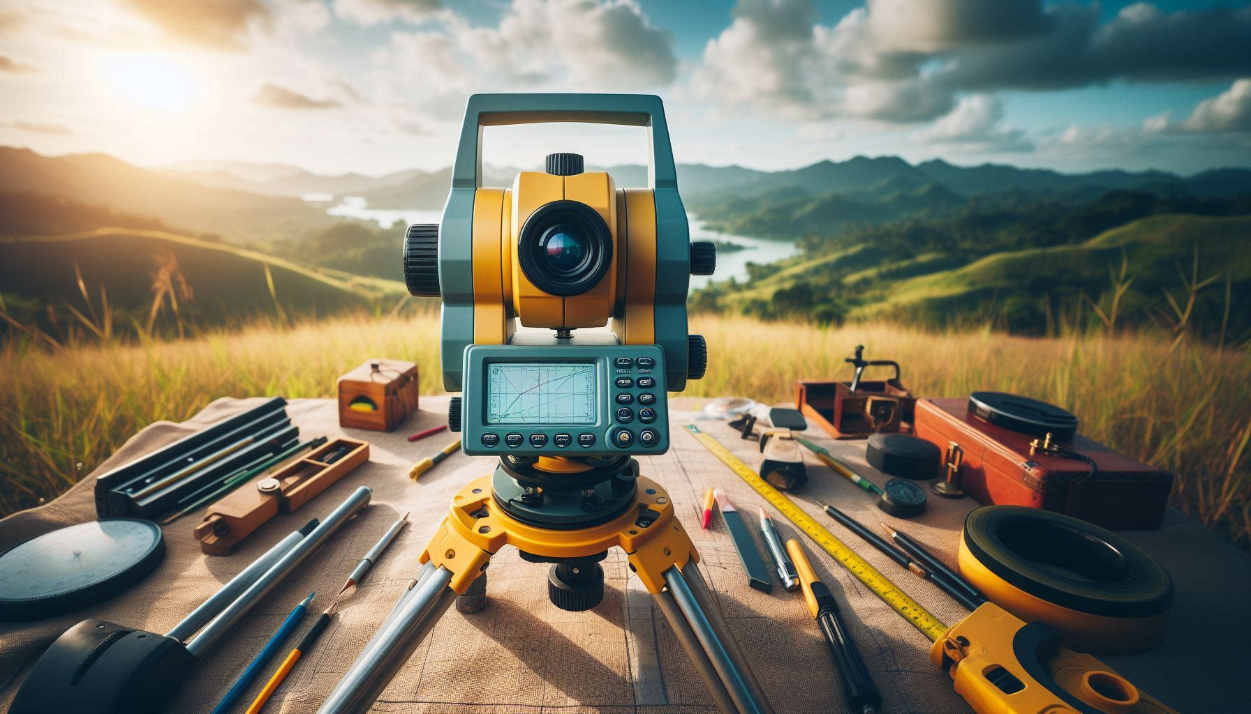
To CoPilot: “Can you draw me a picture of Metrology and Surveying without people”
One of the most exciting parts of studying earth science is that we can generate a theory in the lab, and then just go outside and observe how that theory plays out! The next natural step is to start modeling that system, in an exercise to both confirm our understanding of the universe and to enable predictions and reflections. In order to model you need some numbers, and that’s where metrology steps in. Metrology is the science of measurement, and by being able to repeatably quantify the state and fluxes of the world we can accomplish a lot of really neat things! As with many things in life however, it’s never that simple. As the old adage goes: “Garbage in, Garbage out” attempts to speak to the need to accurately replicate “truth” in your model data. It can also be difficult to add geographic context to a lot of the data we collect, where a visual sniff test is typically the precursor to identifying that garbage. It’s also rather expensive. While technology continues to decrease the time needed to get a high-accuracy measurements of the shape of the landscape (surveying), measurement of hydrologic fluxes remains elusive and requires more specialized equipment and man hours are not cheap to come across, particularly when the collection of that data requires a great deal of skill and training to correctly acquire.
I’d like to push back on some of those ideas however. One of the more visible manifestations of our technical revolution was the increase in accessibility and quality of cameras and sensors which converge on the consumer/prosumer market in the form of Commercial Off The Shelf (COTS) drone tech. While you can’t measure everything with computer vision, we can infer and back into a lot of things, and the hardware and software built into these drones enables almost anyone to fly safely and effectively. Processing chains are also a bit more accessible with the increase in Free and Open Source Software and computational capabilities.. For some help learning the ropes of earning your remote pilots licence, see my licence page. For help collecting and visualizing that data, see my helpers and how-to’s below: