FLDPLN
Executive Summary
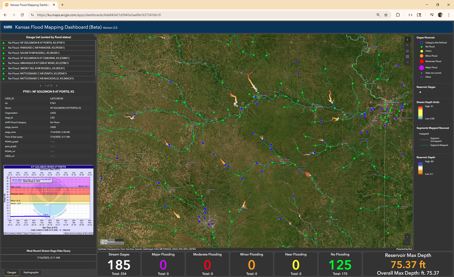
As a pixel based, multi-source flood inundation library, FLDPLN represents the next step up in terms of complexity and process representation in flood inundation library creation by representing both backfill and spillover flooding processes using geospatial approximations. The high resolution nature of the library combined with the flexible library access patterns makes FLDPLN more suited to flexible access patterns, high-interest areas, and anyone who could potential benefit from a more complex approach to flood inundation mapping without the need to include expensive shallow water equation solvers. See the libraries in action at the Kansas Flood Mapping Dashboard.
There are almost as many iterations and implementations of FLDPLN as there are HAND. This page details the Kansas Matlab implementation and assisoated features but there are several meaningfully different techncial implementations we can track.
HowTo
Tutorials
Explanation
- See how FLDPLN can be transformed to functional catigorical FIM.