Adding Geographic Context
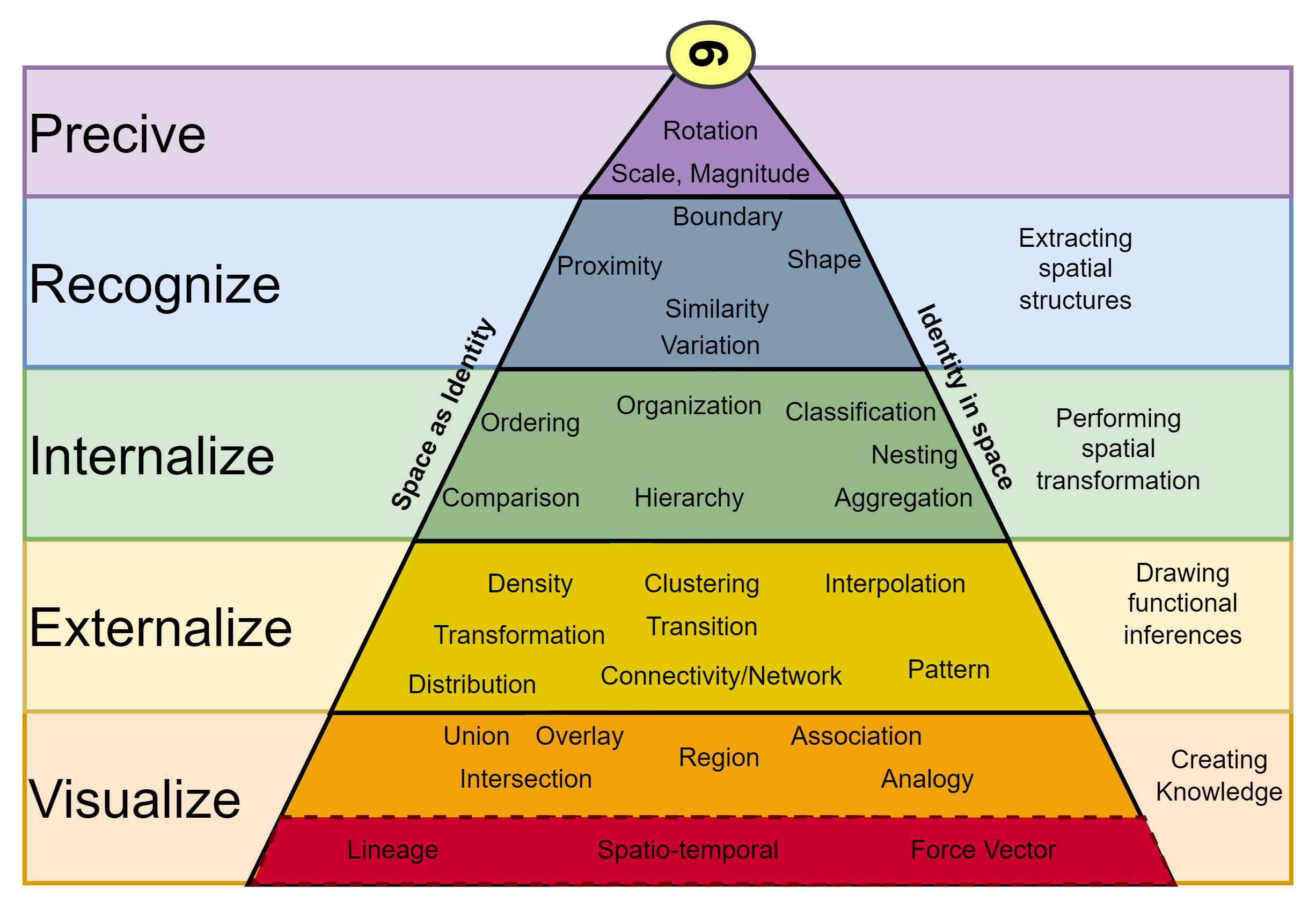
In defining spatial thinking, I outlined several spatio-temporal skills a critical spatial thinker might deploy. While almost none of them are specific to visual perception, it’s the most natural and accessible means of describing them, at least to me. This speaks to the raw power that adding geographic context to a problem has in making that problem far more tractable and explainable than it otherwise would be as a wall of text, audio recording, or interpretive dance performance.  However, adding that geographic context is difficult. First, the challenge of mapping or plotting data can be an exercise in data manipulation to get that table into a spatial form in the first place. It can also be an uphill battle to get ancillary data with which to add that context against. That mosaicing of (geo)data often comes with it’s own set of hidden assumptions which are rarely explicitly communicated. Finally, everyone is an art critic and you can always make a good looking map look better with enough time and effort (and the implied diminishing returns on that investment of time that could otherwise be invested in building for that moving target).
I’d also like to take a quick second to call out some of my more cartographically focused resources: