| Acronym | Longform | Definition |
|---|---|---|
| FIM | Flood Inundation Mapping | |
| FIM | Flood Inundation Modeling | |
| HUC | Hydrologic Unit Code | |
| RPU | Raster Processing Unit | |
| VPU | Vector Processing Unit | |
| WFO | Weather Forecast Offices | |
| NOAA | National Oceanic and Atmospheric Administration | |
| NWS | National Weather Service | |
| OWP | Office of Water Prediction |
National Weather Service ‘political’ boundaries
Infrastructure
Thematic
Describing the various ‘political’ boundaries used across the Weather Service
Back to Data Sources
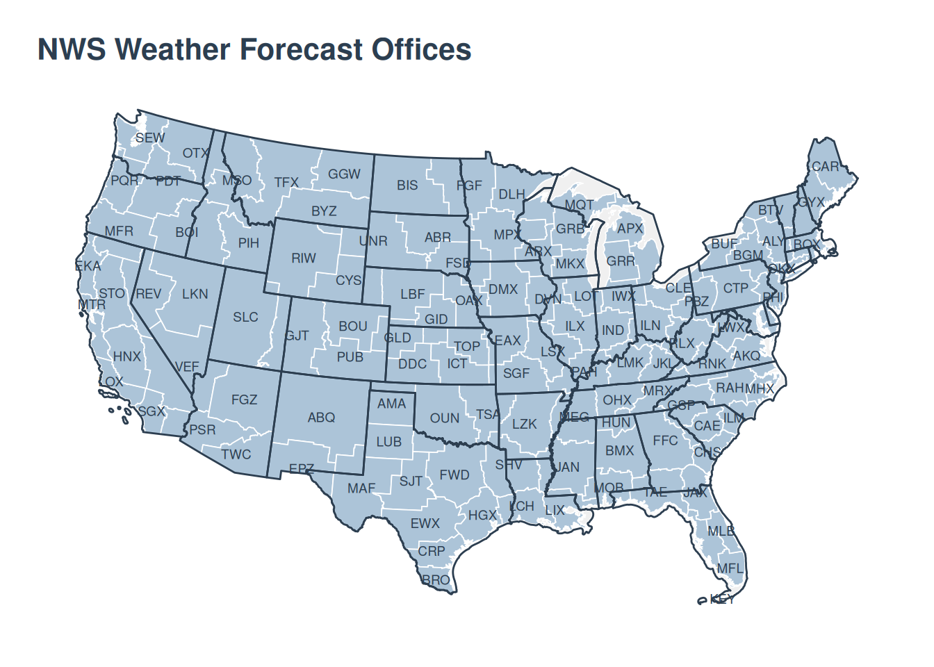
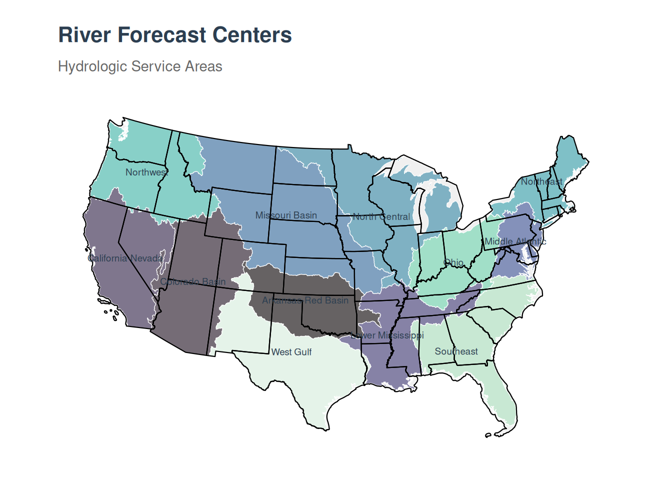
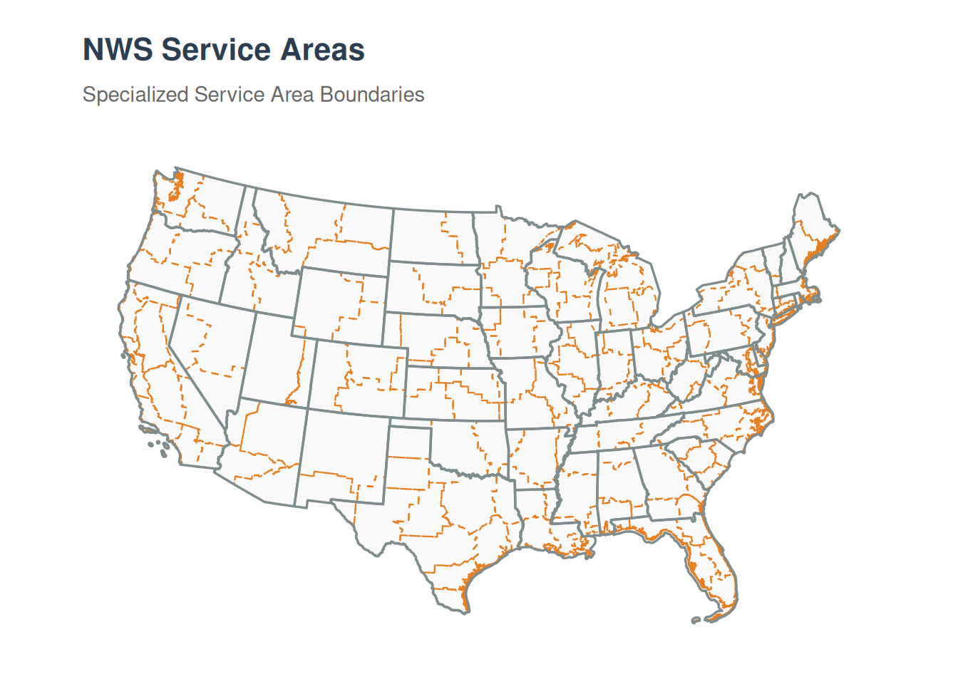
Weather Service Socio-political Boundaries
The weather service uses the following sets of domains pretty routinely. As opposed to boundaries dictated by weather and climate, these are also guided by societal (sociopolitical) boundaries that define them.
Common accronyms
Maps