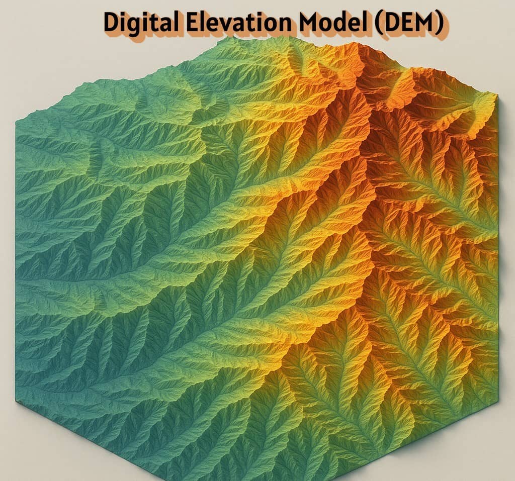
DEM
Back to Data Sources
Here I call out DEM sources in a broad form but I give explicit callouts to the 3D elevation products and 3D hydrography products.
Elevation is a critical control on the landscape, and there are innumerable and constantly evolving sources and products of elevations. I focus here on the publicly accessible and license friendly datasets and my concern in outlining these is with a focus on full coverage of continental scale domains, which ends up excluding many products.
One of the greatest disservices elevation datasets do is obfuscate the source metrology and measurement source from the model product, which makes the communication and access patterns difficult to detangle. To attempt to simplify this, I defer to the authorities and lean on their provided language when outlining these.
Notes: Any time I reference COPC LIDAR data this indicates that a Cloud Optimized Point Cloud is hosted and can be rasterized to any grid. These applications were collected to conform to and be applied at sub-meter scales.
High resolution
Despite the lack of measurements underlying the entirety of the domain, the USGS provides an OCONUS 1 meter DEM that does cover the full geography including areas that are missing LIDAR.
It’s worth calling out the seamless 1 meter DEM (S1M) currently under development, but critical to caveat that this has sparse national coverage and would be is unsuitable for deployment at this point, with coverage only over the North Eastern region of CONUS (see image footprints at: https://apps.nationalmap.gov/downloader/)
Other Sources
Universal
- The USGS 3DEP 1/3 arc-second (~10 meter) DEM provides coverage for all major and minor domains of primary interest.
CONUS:
- Many areas have open COPC LIDAR data, but do not yet possess full domain coverage (see: https://usgs.entwine.io/ for footprint coverage).
Alaska:
- 2m seamless ArcticDEM is cataloged at https://registry.opendata.aws/pgc-arcticdem/, providing a (domain-wide) baseline.
Hawaii:
- Has significant coverage of open COPC LIDAR, but is missing Kauai, Puuwai, and portions of the Island of Hawai’i
- A 10 meter DEM for the main 8 Hawaiian Islands is available from https://www.fisheries.noaa.gov/inport/item/38724
Puerto Rico:
- Puerto Rico has domain wide coverage via 2 primary COPC LIDAR datasets collected in 2015 and 2016, and several others from 2018, providing a (domain-wide) dense point cloud coverage.