BLE - Base Level Engineering

Back to Data Sources
A semantic caveat
Base level engineering is not a dataset per se but a standard to which a HEC-RAS model is built to during creation. Since these are so standardized, particularly relative to the rest of the digital standards reproducible hydraulic modeling are held to, I felt it’s worth lumping them all into the same conceptual heap. I outline a bit of the history of these standards here.
A modeling standard
Base level engineering, as the name implies, is a baseline solution to understanding the risk of a location to flood recurrence intervals. To do this, the Federal Emergency Management Agency contracts out engineering firms to develop what were traditionally rather coarse one-dimensional HEC-RAS modeling efforts with a few simple water surface profiles which are intended to represent common high flow magnitudes. These modeling efforts have since evolved into more robust one and two dimensional HEC-RAS rain-on-grids with multiple water surface profiles. These resulting maps offer a solid credible engineering analysis and modeling foundation for communities to start planning and enforcing development and insurance codes through the establishment of a Base Flood Elevation (a 100 year water surface elevation) which forms the basis for Flood Insurance Rate Maps as provided by the National Flood Insurance Program. In short, Base Level Engineering provides the modeling surface off which the elevations are pulled to create the mapping surface off which insurance enforcement operates.
While BLE represents a standard, there are variations on that standard that make some models more robust than others. The “baseline standard” typically involves a series of hydrologic and hydraulic analyses that follow/target the rough general highlights:
There are early attempts at making the reading of some of these attributes programatically with the HEC-REAS model integrity check tool. It’s important to note that BLE data is not a regulatory product (the FIRM is that product), but can be adopted as such. FEMA Region 6 has done a phenomenal job opening and publishing their BLE models, but others place them into FEMA’s closed database, called the Mapping Interface Platform (MIP). When you find you need to account your HEC-RAS model inventory, you can use the RRASSLER utility developed to help wrassle the technical friction of those data.
Sources
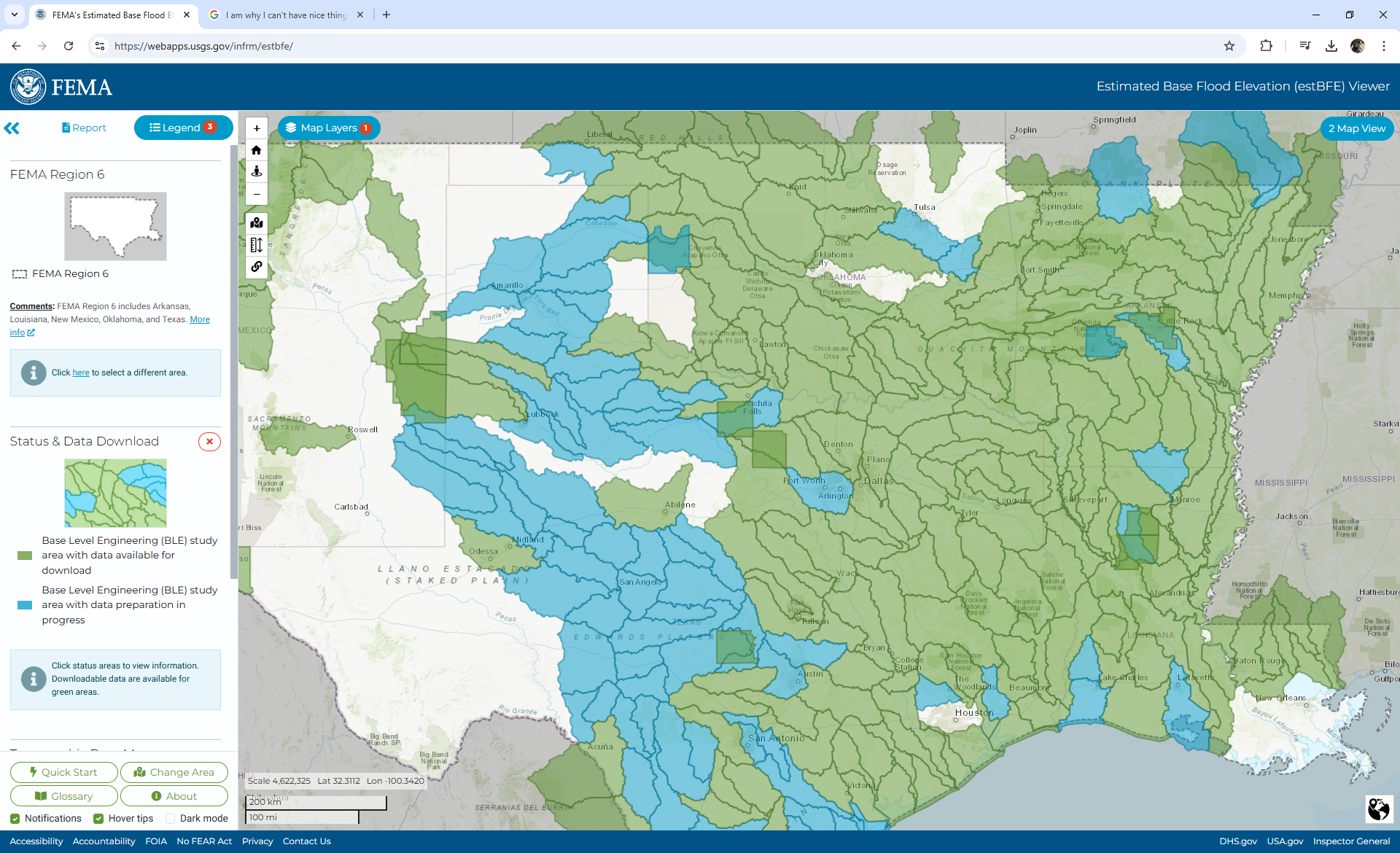
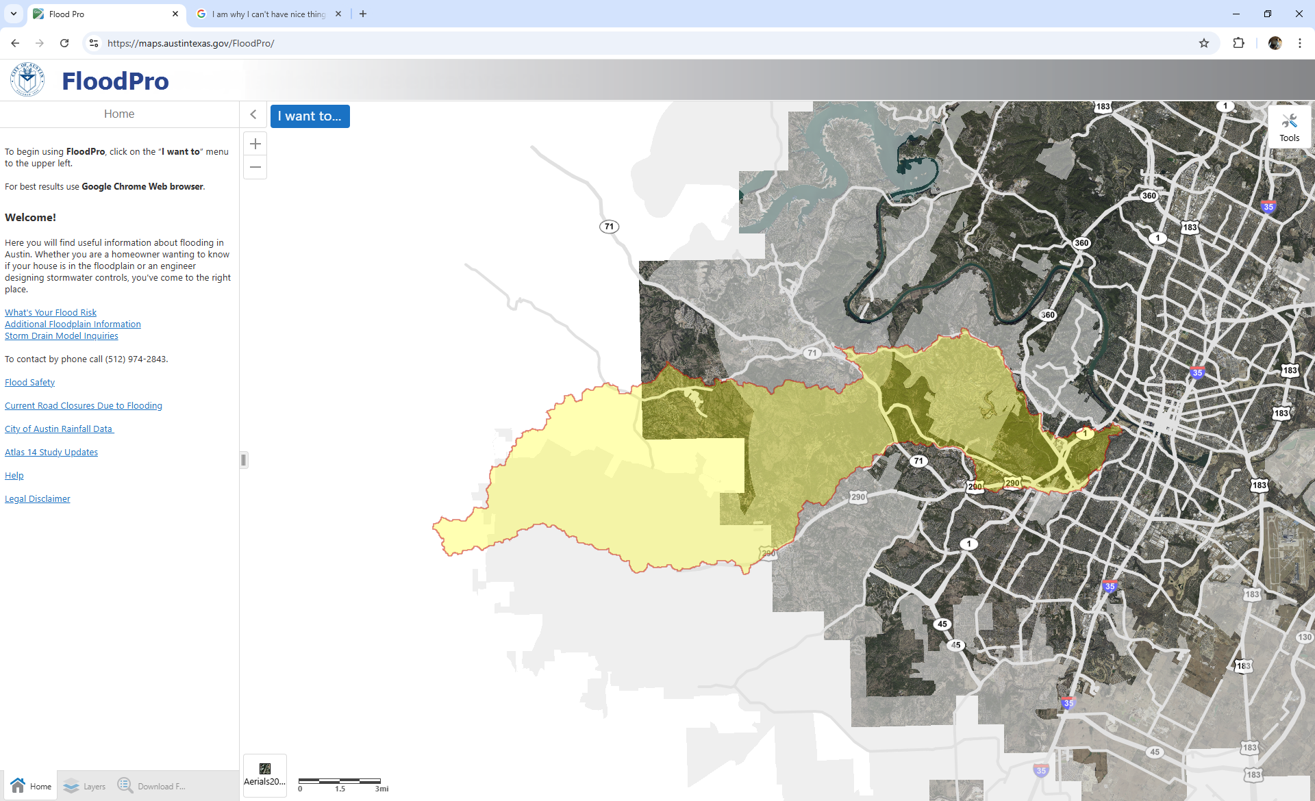
These appear to be subsets of the FEMA REgion 6 models made more accessable for Austin’s objectives.
The FEMA Mapping Interface platform is a closed portal off which authorized users can download models. Dewberries RAS stacmap loosely cataloged these via the MCAT-RAS outputs, but source HEC-RAS files and geospatial keys are all still held in private buckets.
The FAIR-ification of HEC-RAS
We’ve undertaken a massive lift to acquire and catalog these for operational deployment. See the sample RRASSLER catalog here; and a STAC’d version of a generated catalog from publicly available RAS models (primarily sourced from FEMA Region 6) here. You can find Dewberries version of a HEC-RAS catalog based on efforts in (Lawler et al. 2025) here.